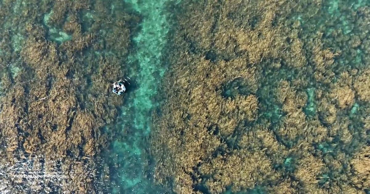
Vietnam's coastal and marine areas, rich in natural resources, provide livelihoods for millions of people. Climate change is making these areas more vulnerable to extreme natural disasters, including storms, sea-level rise, high tides, rough seas and saltwater intrusion. Their patterns are becoming more complex and harder to predict.
Disaster risks are also rising because of rapid urbanisation, growing economic development demands and climate change. In this situation, science and technology, together with international cooperation, are needed to strengthen marine forecasting, support earlier disaster prevention and mitigation, and protect coastal communities' livelihoods in a sustainable way.
Dr Nguyen Ba Thuy, Deputy Director of the National Centre for Hydro-Meteorological Forecasting, said operational marine forecasts now cover all major oceanographic parameters, including tides, sea waves, ocean currents, and storm- and monsoon-induced surges.
Modern technologies are being used to improve forecast quality. Data from numerical models, satellites, radars and observation systems are integrated into forecasting operations. The OpenGeoWeb online platform also gives forecasters tools that help them issue more accurate and timely warnings for coastal and marine disasters.
These technologies have extended forecast lead times. Wave and ocean-current forecasts now cover up to 10 days, while storm- and monsoon-induced surges can be forecast three days in advance. Tide forecasts and high-tide warnings are also more detailed for coastal and island observation stations, river mouths, ports and major coastal economic zones.
Technology is also being used in storm and tropical depression forecasting. Hoang Duc Cuong, Deputy Director in charge of the Vietnam Meteorological and Hydrological Administration, said early warnings are especially important for marine hazards. Their lead times are measured in hours rather than days, as with many other natural disasters.
This will allow vessels to leave dangerous areas promptly or reach safe shelters in time. Forecasts must provide accurate and timely information on a storm's location and intensity, its direction of movement, areas of strong winds and high waves, so authorities and vessel operators can make safety decisions.
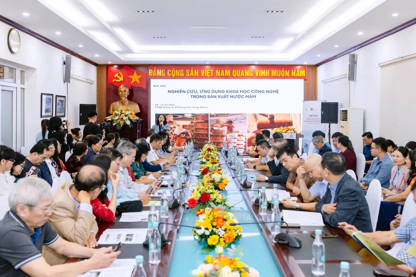
International cooperation is also important for marine forecasting. Dang Thanh Mai, a deputy director of the Vietnam Meteorological and Hydrological Administration, said Vietnamese and Norwegian agencies have maintained cooperation over the past decade through technical exchanges, joint research and practical training courses.
This work has given Vietnamese forecasters and scientists access to marine forecasting technologies, operational tools and professional expertise. It has strengthened forecasting agencies at both central and local levels.
Vietnam is frequently affected by dangerous marine phenomena, including storms, strong offshore winds, high waves and storm surges. They threaten coastal communities, maritime safety and infrastructure. Marine forecasts therefore need to be accurate, timely and location-specific to support disaster response, risk reduction and the development of the marine economy, Dang Thanh Mai said.
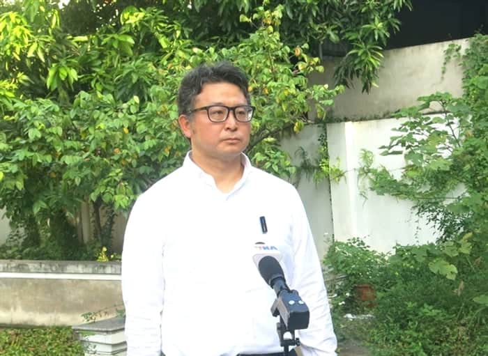
Marianne Rabe Knævelsrud, First Secretary of the Norwegian Embassy in Vietnam, said safe and sustainable marine economic activities require a better understanding of ocean conditions and closer cooperation in forecasting.
The impacts of storms, storm surges and coastal flooding in Vietnam show the need for timely forecasts and warnings. Early warnings give communities more time to prepare, while reliable forecasts help people working at sea decide when to set out or return. This directly affects their safety and livelihoods, she added.
Despite this progress, marine forecasting still has limits in lead times, reliability and the distribution of information to different user groups. One reason is the sparse marine observation network. Many forecasting tasks also require substantial computing capacity, which is still insufficient for detailed forecasts for important areas such as shipping channels, tourist sites and seaports, as well as detailed coastal flood forecasts.
Cuong stressed that improving hydrometeorological and oceanographic forecasting and warning capacity is an urgent task. This requires a clear roadmap and coordinated solutions, especially investment in expanding the marine observation network, increasing station density, upgrading equipment and developing data transmission technologies.
The sector also needs investment in research and modern forecasting technologies. This includes studying the causes and mechanisms of unusual and dangerous oceanographic phenomena, producing more detailed forecasts from available observation data and extending forecast lead times. Greater computing capacity and stronger professional skills among forecasters are also needed.
At the same time, international cooperation should be expanded to support the sharing of forecasting technologies, observation equipment, data transmission systems and expertise with countries in the region and around the world, he added.
Sources: VietnamPlus / Vietnam News Agency