
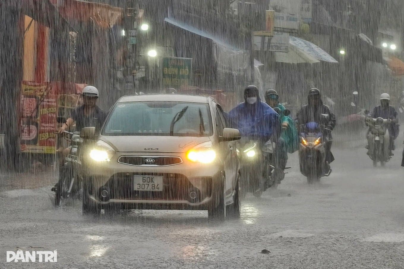
On November 19, Ho Chi Minh City and other southern provinces and cities in Vietnam are forecast to be sunny during the day, with showers and thunderstorms in some places in the evening and at night. Minimum temperatures will range from 24 to 27°C, and maximum temperatures from 32 to 35°C.
Northeasterly winds over the southern Vietnamese sea area will gradually strengthen. From Lam Dong to Ca Mau, winds are expected to reach force 5, occasionally force 6, with gusts of force 7–8. From Lam Dong to Ho Chi Minh City, winds will reach force 6, with gusts of force 7–8. Waves will be 2–4 meters high and the sea will be rough.
From Ca Mau to An Giang and Phu Quoc, easterly to northeasterly winds are expected to reach force 4, occasionally force 5. Waves will be 0.75–1.75 meters high and sea conditions will remain normal.
According to the meteorological agency, cold air in the north will continue to strengthen and spread southward. At the same time, a disturbance in the easterly wind belt will become active again, move inland and bring rain to southern areas. Rain will be concentrated in several provinces in the Mekong Delta.
Water levels at most stations on rivers, canals and waterways in Ho Chi Minh City are forecast to change slowly over the next 1–2 days, then rise again with the full-moon tide cycle of the tenth lunar month.
On November 22, the highest daily water level at the Phu An and Nha Be stations may reach 1.40–1.50 meters, corresponding to alert levels 1–2. At the Thu Dau Mot station, the level may reach 1.50–1.60 meters, corresponding to alert levels 2–3.
Meteorologists advise residents in low-lying areas and along rivers, canals and waterways to monitor tide levels, take measures to prevent flooding and protect property, and avoid travelling through deeply flooded areas where possible.
Sources: Dân Trí