
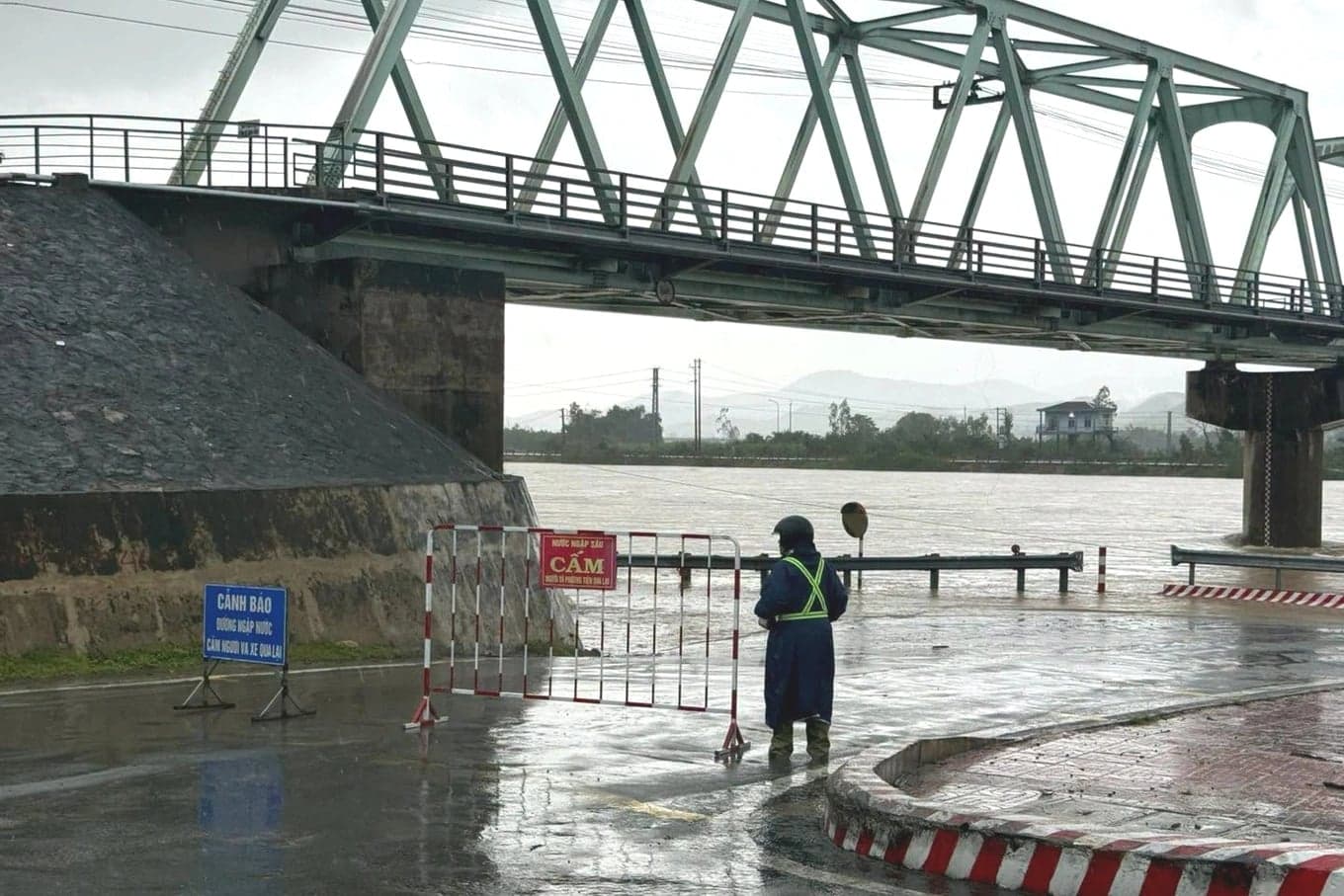
On the afternoon of November 11, Dak Lak police banned vehicles from using several road sections that were deeply flooded and considered unsafe.
The restrictions cover National Highway 19C from kilometer 50+600 to kilometer 50+750 in Long Thach hamlet, Dong Xuan commune; Provincial Road DT647 near Suoi Trang Bridge from kilometer 13+000 to kilometer 13+200 in Ky Lo hamlet, Phu Mo commune; and the inter-hamlet road linking Lanh Van and Ha Rai in Xuan Lanh commune.
Authorities told residents not to use flooded sections, choose alternative routes and never try to cross deep water. They also urged people to follow instructions from personnel on duty.
Nguyen Ngoc Tuan, chairman of the Dong Xuan commune People's Committee, said water levels in the Co and Ky Lo rivers were rising, leaving several local roads deeply flooded. Personnel have been assigned to control traffic, warn residents and stop people from entering dangerous flooded areas.
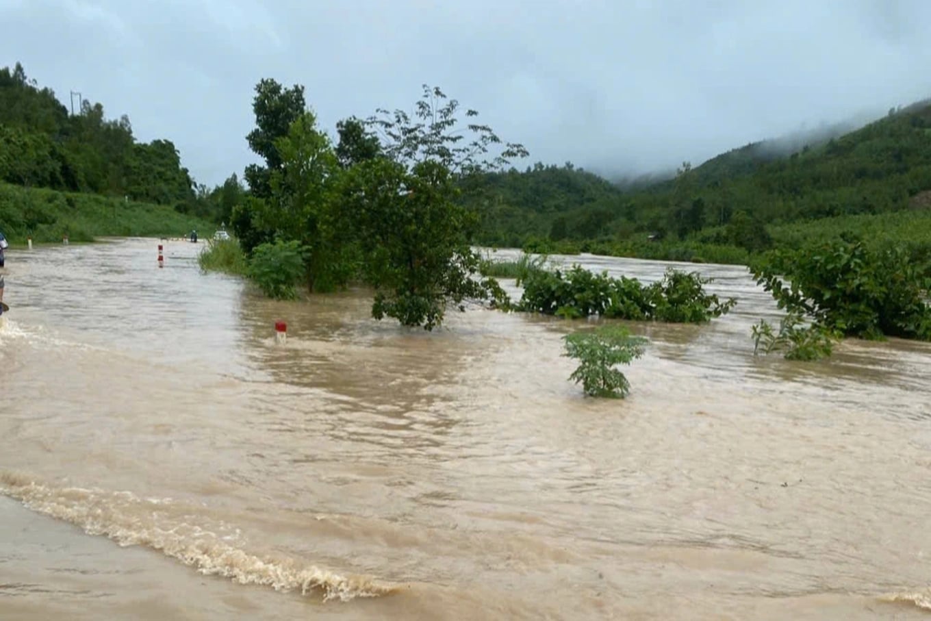
The Dak Lak hydrometeorological service said water levels in the Ky Lo and Ban Thach rivers were rising quickly.
Over the following 24 hours from 3 p.m. on November 11, river levels in eastern Dak Lak were expected to keep rising, peak early on November 12 and then gradually fall.
Water levels in the Ban Thach and other rivers were fluctuating around warning level 1.
Forecasters warned of a high risk of flash floods and landslides in mountainous areas, along with localized flooding in low-lying areas beside rivers and streams in Xuan Lanh, Dong Xuan, Phu Mo, Tuy An Bac, Hoa My, Hoa Thinh and Tay Hoa communes, as well as Dong Hoa and Phu Yen wards.
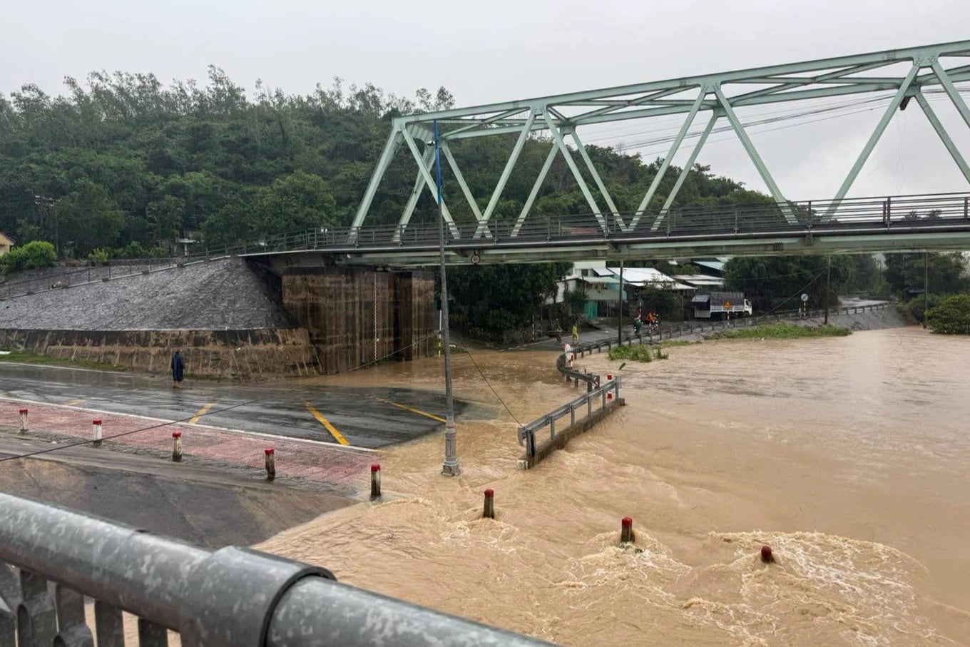
The flooding could directly affect the environment, residents' lives and production, damage transport infrastructure and disrupt agricultural work.
Authorities urged residents to follow rainfall and flood forecasts and warnings, take precautions and avoid traveling through areas at risk of flooding or landslides.
Sources: Dân Trí