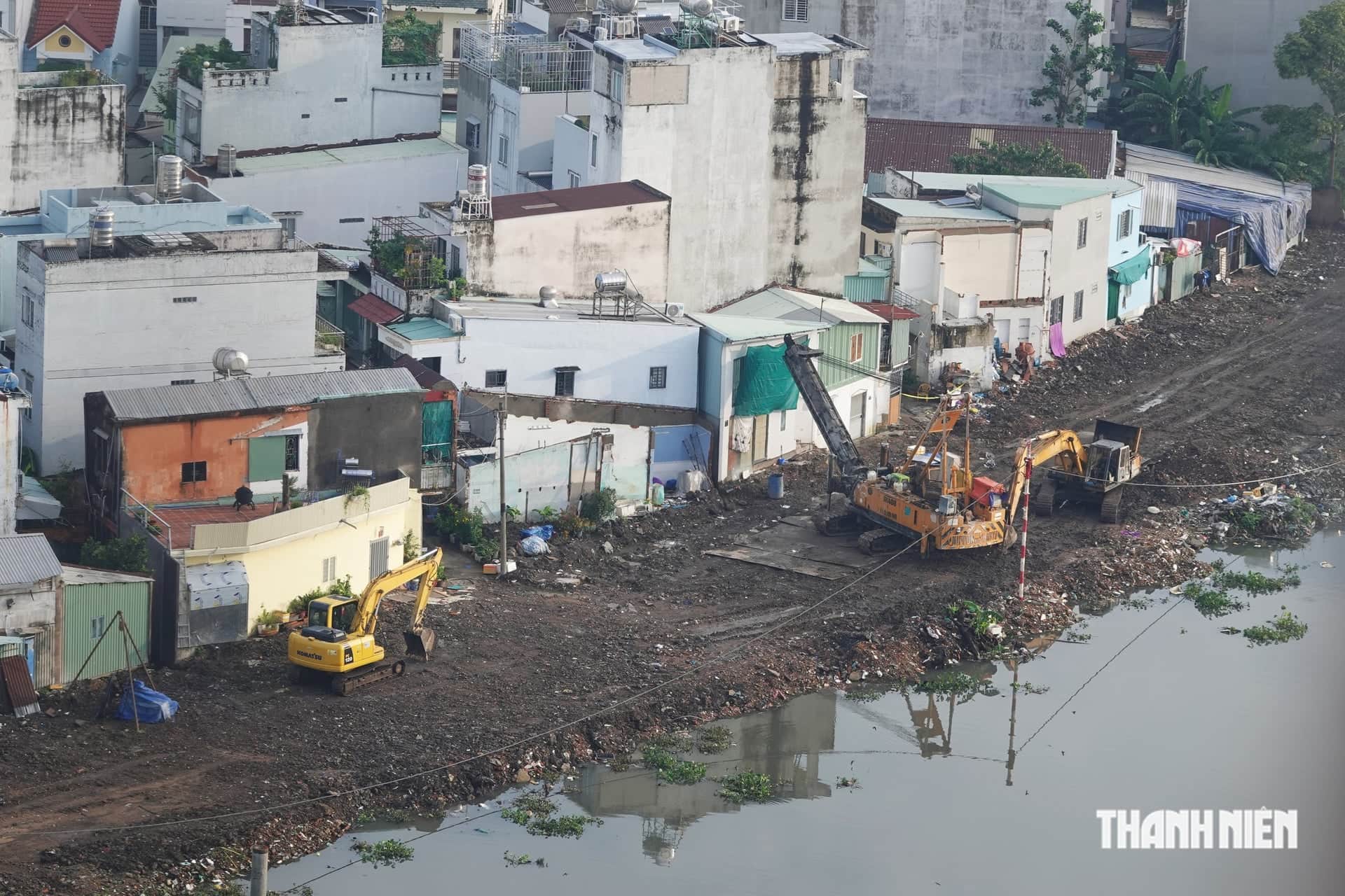
On October 14, leaders of the Party committees and people's committees of Tan An, Long An and Khanh Hau wards and Vinh Cong commune in Tay Ninh Province discussed investment attraction and the development of the Tan An urban master plan through 2050.
A gateway between Ho Chi Minh City and the Mekong Delta
At the meeting, a representative of the National Institute of Urban and Rural Planning under the Ministry of Construction presented the draft master plan for Tan An through 2050. The urban area will include Tan An, Long An and Khanh Hau wards and Vinh Cong commune, covering more than 10,790 hectares. Long An covers 3,490 hectares, Tan An 2,550 hectares, Khanh Hau 2,280 hectares and Vinh Cong 2,471 hectares.
Compared with the former Tan An city in Long An Province, the planned urban area is larger because it includes Vinh Cong commune. It will also have more ecological land and water retention areas.

Tan An urban area now has about 200,000 residents. By 2050, its population is forecast to reach 511,300 to 578,720. Before the provincial merger, Tan An, which did not include the current Vinh Cong area, already held Class II city status.
Tan An is about 47 km from Ho Chi Minh City and lies in the southern key economic region. It links southeastern and southwestern Vietnam. Under the adjusted provincial plan, Tan An will be one of Tay Ninh's three centers.
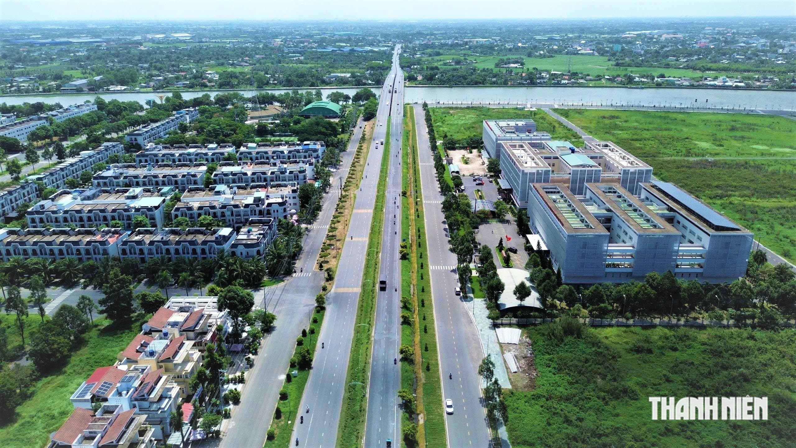
The Ho Chi Minh City, Trung Luong Expressway passes through Long An and Khanh Hau wards. Its section through the urban area is about 6.89 km long and has four lanes. The Tan An IC interchange connects the expressway with National Highway 62.
National Highway 1 runs through the urban area for about 10.6 km, while the bypass is about 5.7 km long. National Highway 62 runs east to west, linking Tan An with the Binh Hiep international border gate on the Cambodian border.
Provincial roads 827, 833 and 834 also run through the area. Tan An's ring road is more than 22 km long and has four to six lanes. It is intended to reduce pressure on National Highways 1 and 62.
The draft gives priority to Provincial Road 817D from Tan An to Binh Hiep, with at least eight lanes. The Ho Chi Minh City, Can Tho railway is also included in the planning, while the Tan An, Hung Nhon urban railway is under study.
The Vam Co Tay River as an urban identity corridor
The Vam Co Tay River runs through the center of Tan An urban area. Its average depth near Tan An is 15 meters. Planners said this could support cargo transport and the construction of a large port.
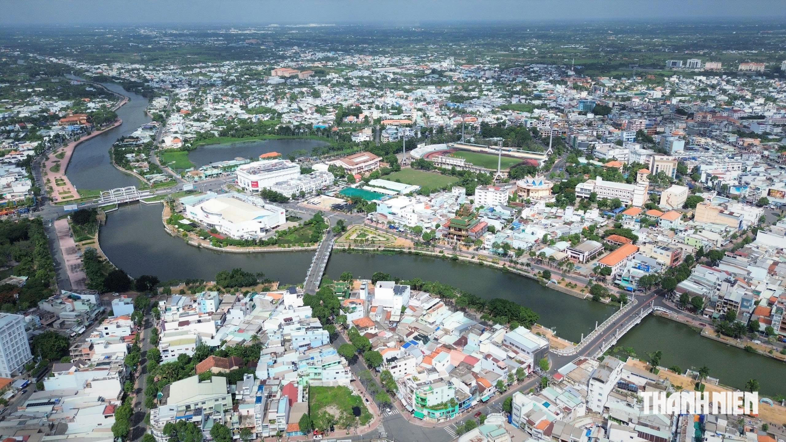
The Bao Dinh Canal also connects the Vam Co Tay River with the Mekong and runs to My Tho in Dong Thap Province. The Rach Chanh Canal provides trade links with Ho Chi Minh City, Dong Thap and An Giang.
However, the river is currently used only for small cargo shipments. Its potential for water transport has not yet been fully used.
Consultants, businesses and experts at the meeting proposed building a new Tan An cargo port on the Vam Co Tay River, with a projected capacity of 1 million tonnes a year. The proposed Tan An passenger port would handle 1.2 million passengers annually.
Tan An urban area is flat. The average elevation in the wards is 0.8 to 1.6 meters, while Vinh Cong commune is generally 0.4 to 0.8 meters above sea level. The consultants therefore selected a model of multiple centers, corridors and ecology. The Tan An, Long An core will develop administrative, commercial and financial functions. Khanh Hau will become a center for high-tech industry and logistics. Vinh Cong will not pursue widespread urbanization, instead prioritizing high-tech agriculture, regulating lakes and ecotourism.
Sources: Thanh Niên
Sources: Thanh Niên