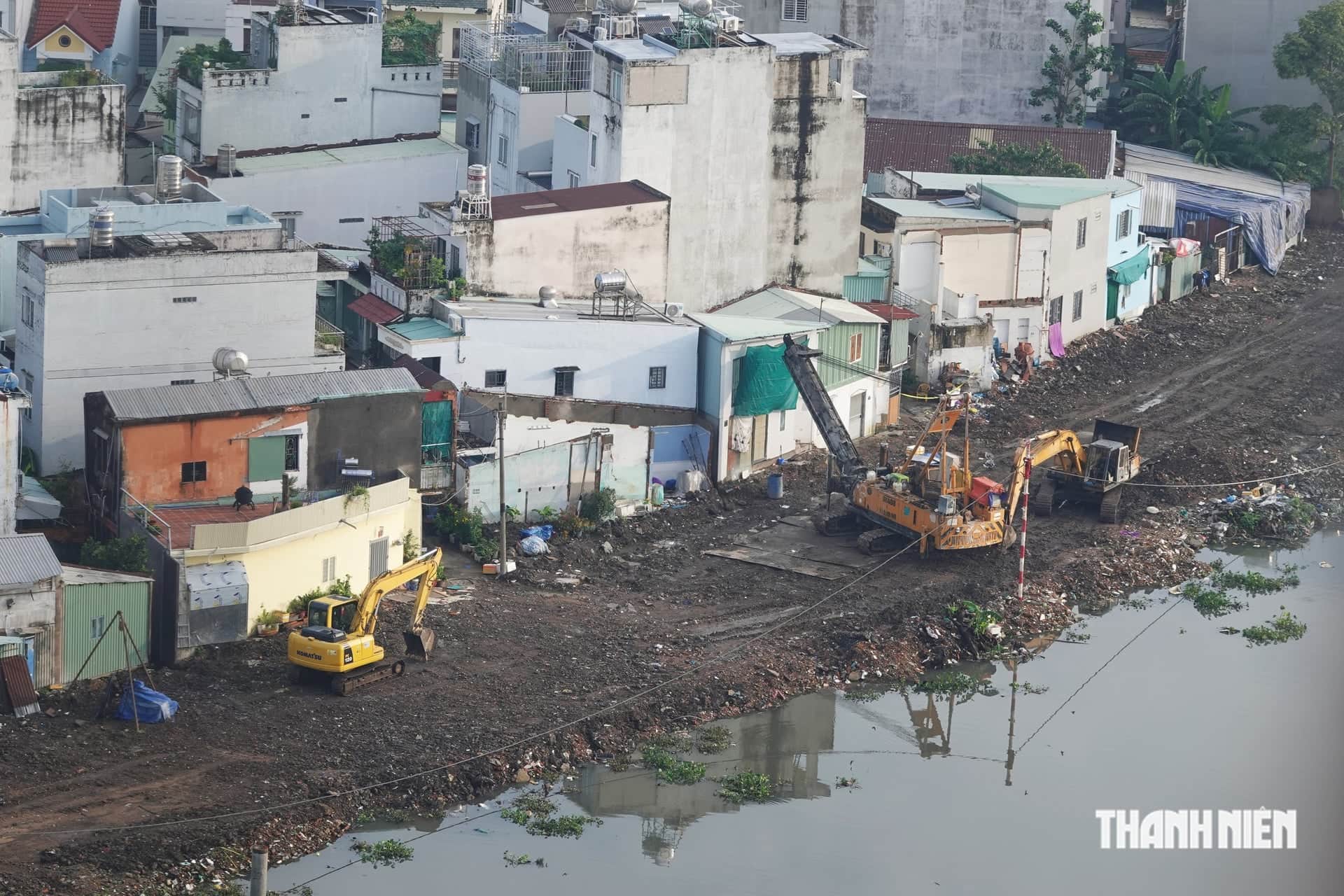
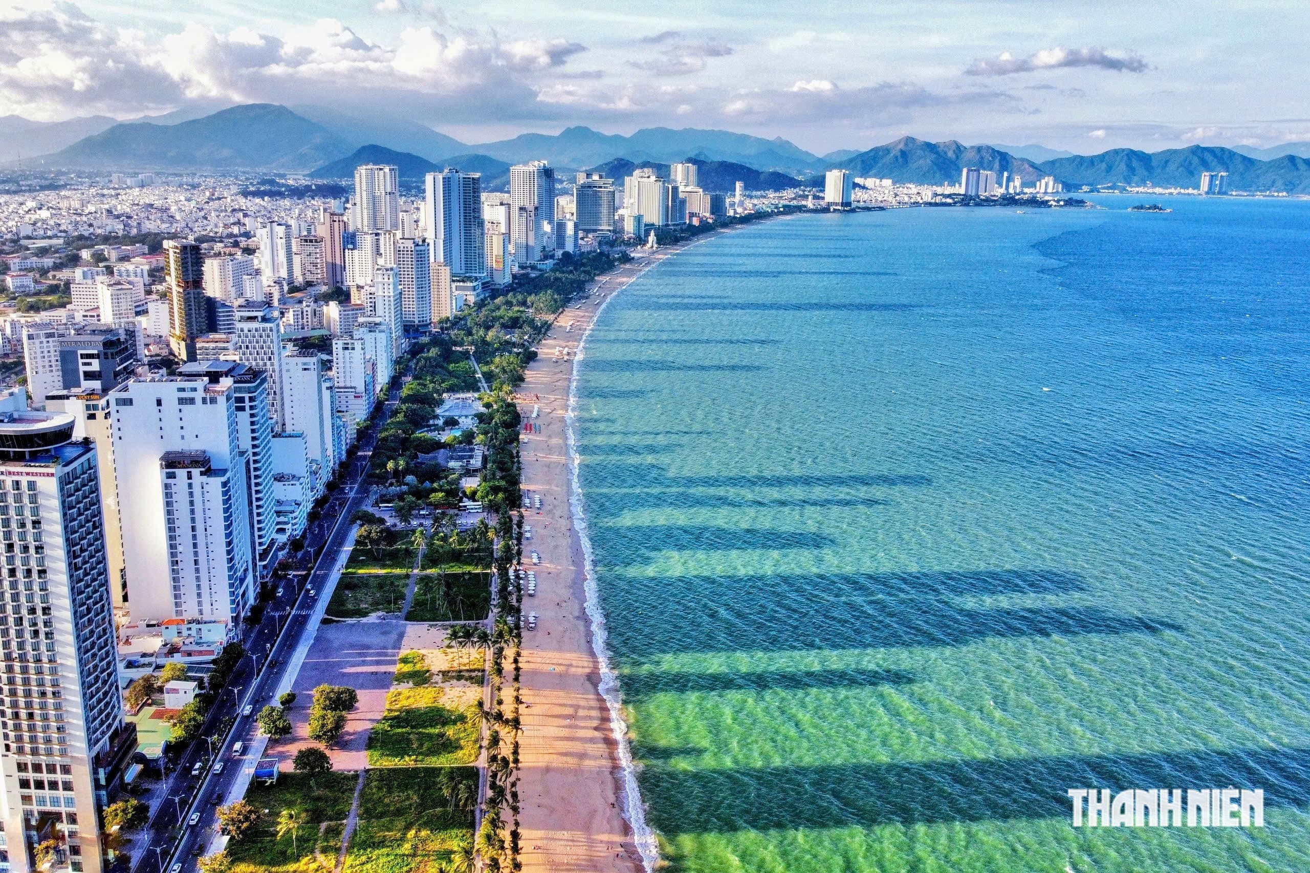
On October 20, the Khanh Hoa provincial People's Committee said it had received Decision No. 2007/QD-TTg approving the general urban plan for Khanh Hoa through 2050, with a vision to 2075. The decision was issued by Vietnam's prime minister.
Nha Trang to remain the core of Khanh Hoa
The plan covers the entire administrative territory of Khanh Hoa province. Its land area is about 8,706.74 square kilometers, while the maritime area will be defined under regulations. It aims to make Khanh Hoa a first-tier city by 2030 and a center for the marine economy, international services and tourism, as well as a competitive trade gateway.
Khanh Hoa's urban space will follow a multi-polar, multi-center model with two development zones, three growth poles and four connecting corridors. Nha Trang will remain the core, focusing on services, international sea tourism and high-quality urban functions. Van Phong is planned as a marine-economy center, an international transshipment port and a logistics hub.
Cam Lam is planned as a modern, ecological airport city. Cam Ranh will focus on tourism and logistics, using its seaport advantages and strategic importance for defense and security.
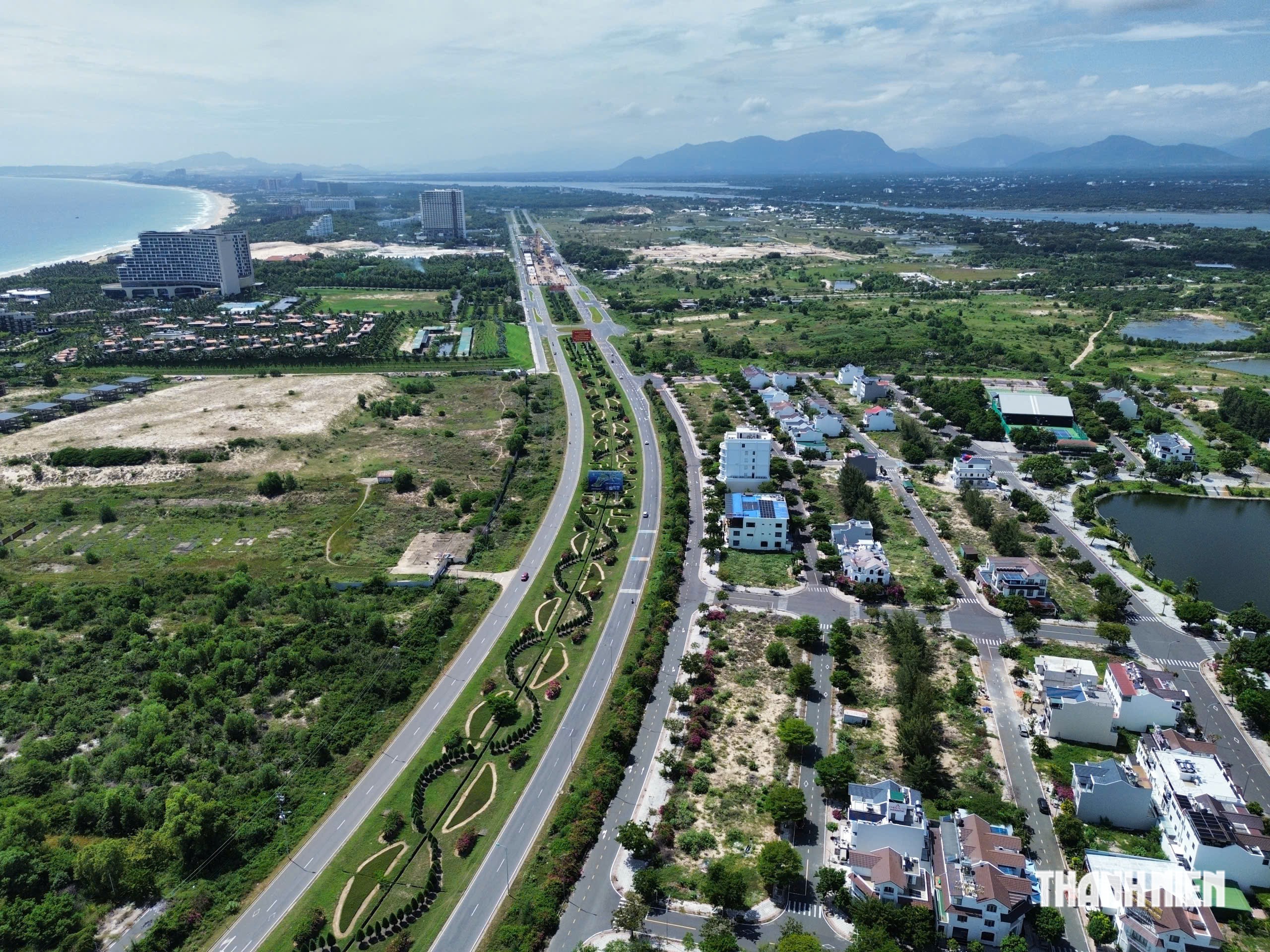
In the north, Ninh Hoa will develop industry, services and links with the Van Phong Economic Zone. Van Ninh is planned for high-end sea tourism. Dien Khanh will develop as an ecological city with traditional cultural features. In the south, Phan Rang and nearby areas will form the urban core of southern Khanh Hoa, linked to industry, energy, tourism and logistics. The Ca Na area is planned to build on its port, industrial and energy advantages. Western areas, including Khanh Son, Khanh Vinh, Bac Ai, Lam Son and Ninh Son, will support agriculture, forestry, ecotourism, nature conservation and local culture.
Population of up to 5.1 million and 60 million visitors
Khanh Hoa's urban population is expected to reach about 2.7-2.8 million in 2030, 3.7-3.8 million in 2040 and about 5-5.1 million in 2050. Visitor numbers are projected to reach 30-33 million in 2030, 40-42 million in 2040 and 55-60 million in 2050.
The plan calls for expanded urban construction space and coordinated development of transport, electricity, water supply, drainage, waste treatment and social infrastructure. Shopping and service centers, finance, innovation, high-tech industry and clean energy are to be developed according to the strengths of each area. Khanh Hoa aims to shift toward higher-value services, modern industry and the marine economy.
Khanh Hoa is expected to meet first-tier city criteria and include 15 urban centers by 2030. A system of five second-tier cities is planned for 2040, while the 2050 system will include 21 second- and third-tier cities and special zones.
Study of 6,247 hectares of possible land reclamation
The plan focuses on seaports, logistics and transport links between growth areas. North-south and east-west corridors are intended to connect the coastal urban chain with western areas and strengthen regional links.
The document identifies areas where land reclamation totaling about 6,247 hectares could be studied. They include North Van Phong, South Van Phong port, Ninh Chu port, Ca Na port, the Van Phong airport area, and potential locations in Cam Ranh and Nha Trang.
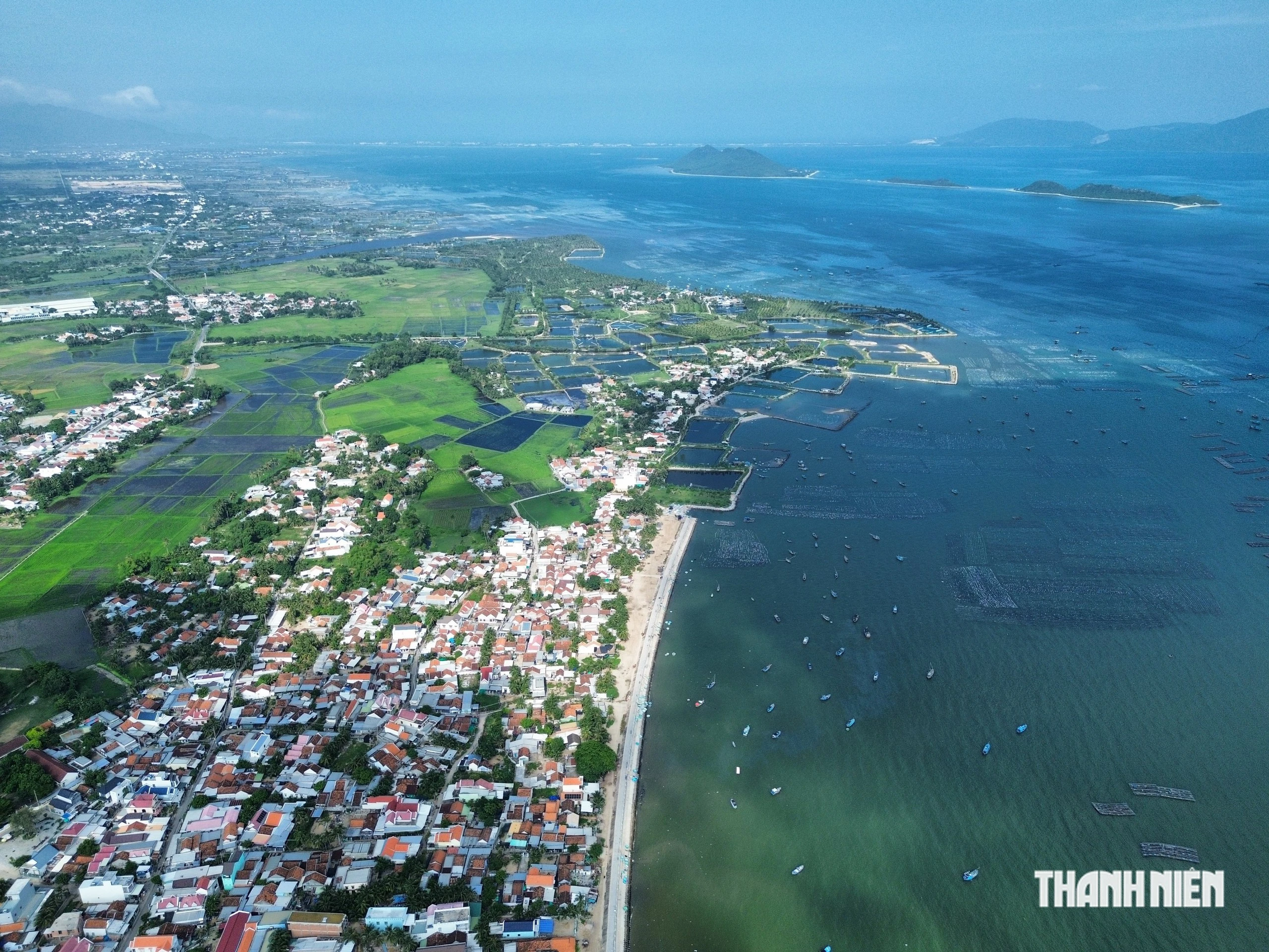
The reference to land reclamation does not mean that all of the proposed area will be developed immediately. Each site's investment efficiency, natural conditions, infrastructure capacity and environmental impact must be assessed in line with the law. For coastal, bay and riverfront areas, the plan calls for controls on architecture and building heights to preserve views and avoid blocking the sea. Areas with ecological, scenic and heritage value are to be protected during development.
Sources: Thanh Niên