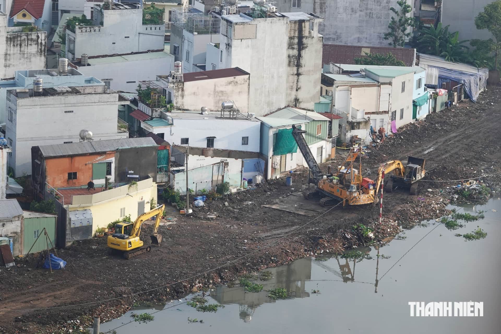
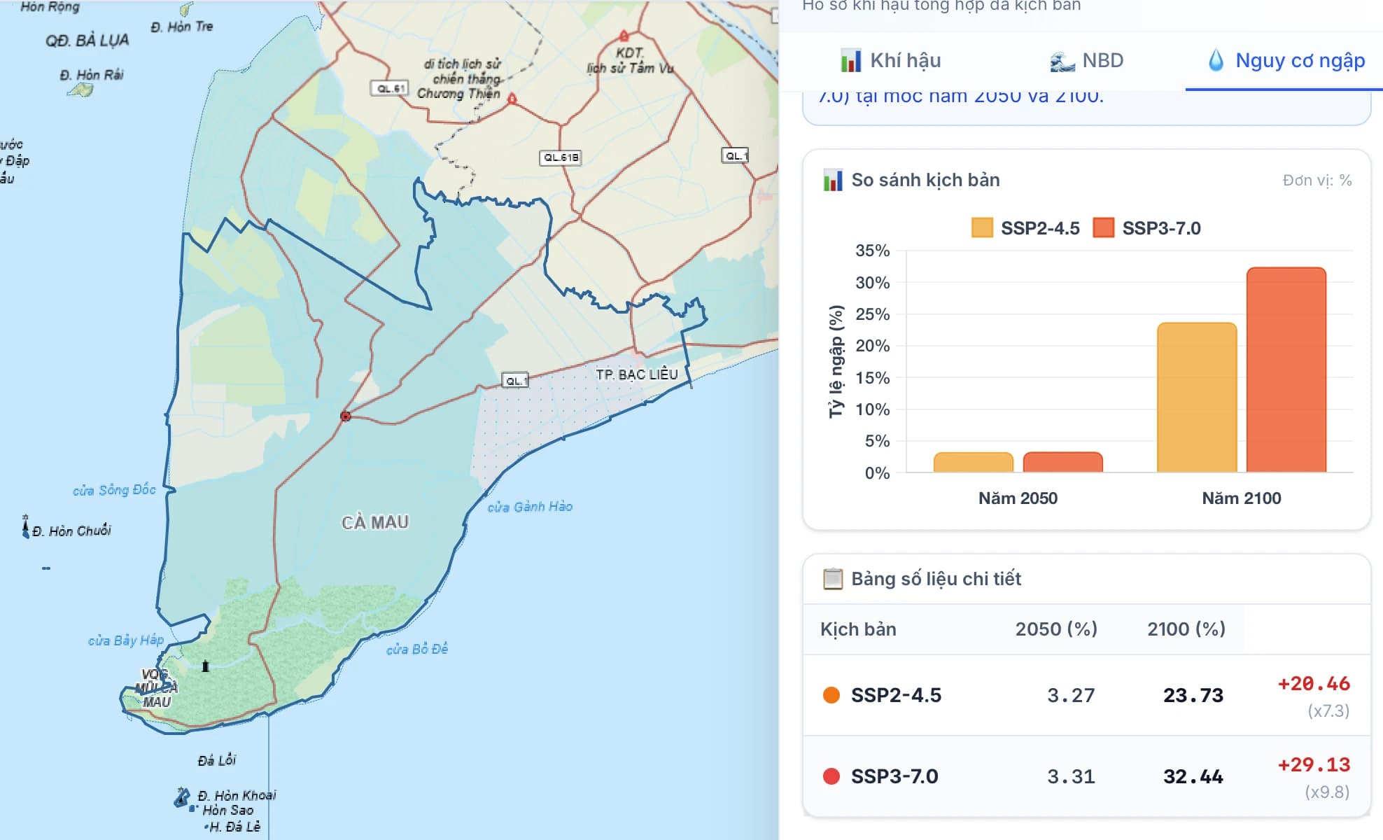
Vietnam’s 2025 climate change scenario, published by the Ministry of Agriculture and Environment, estimates that average sea levels along the country’s coast could rise by about 61.9 cm by 2100, with a maximum of about 82 cm. As a result, parts of the Mekong Delta could be flooded.
By the end of the century, about 18.44% of the Mekong Delta could be flooded under the high scenario. The highest risk is projected for Ca Mau, where 32.44% of the area could be affected, followed by An Giang at about 29.13%, mainly in the area of the former Kien Giang province.
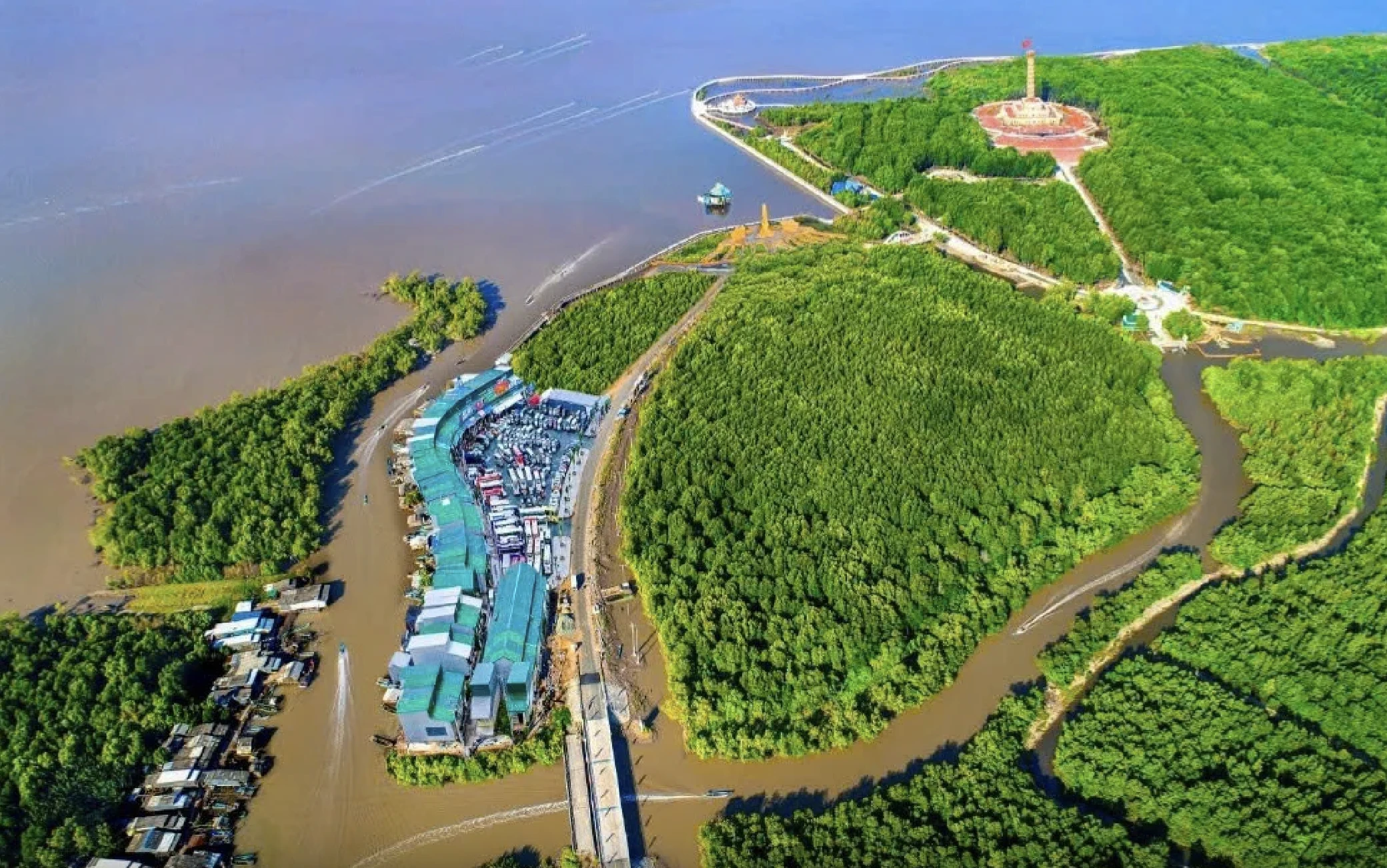
The report notes that the flooding map shows a static result calculated only from sea-level rise. It does not include land subsidence, changes to the coastline, tides, storm surges or coastal protection structures. Experts recommend using the results primarily to identify areas at risk, rather than using them alone to design specific infrastructure.
The 2025 climate scenario also projects a rise in average annual temperatures under all scenarios. The number of extreme-heat days could increase significantly in the south. In some parts of central and southern Vietnam, the number of hot days could rise by more than 50 a year under higher warming levels. This could increase health risks, cooling demand and the strain on people working outdoors.
Extreme rainfall is also expected to increase. Maximum rainfall over one day and five consecutive days could rise, along with the number of days with heavy rain. Under the high scenario, some areas could see the number of days with more than 100 mm of rain in 24 hours increase by about 80–100%. For cities and concentrated production areas, this will require attention to drainage capacity, infrastructure and preparedness for heavy rainfall.
Sources: Thanh Niên