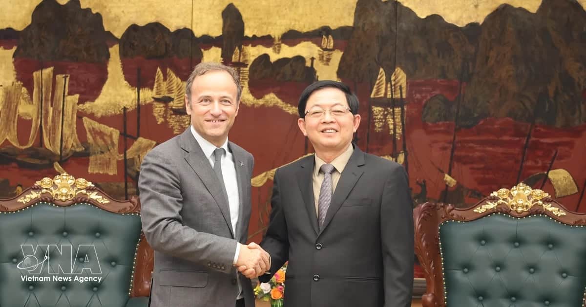
Chairman of the provincial People’s Committee Nguyen Manh Quyen said Hung Yen is developing a socio-economic plan based on three economic zones and two development corridors. The province aims for double-digit economic growth and centrally governed city status by 2030.
The framework is intended to make better use of Hung Yen’s geographical advantages, strengthen regional links and create new growth drivers in industry, urban development, logistics, services and tourism.
The three economic zones are the northern growth hub, the central zone and the coastal zone. Each will have distinct development functions.
The northern growth hub borders Hanoi, Bac Ninh and Hai Phong and will connect the province with the Hanoi metropolitan area. Located along the Lao Cai, Hanoi, Hai Phong, Quang Ninh economic corridor, it is planned as a centre for high-tech industry, urban development, services and logistics.
The area is supported by the Hanoi, Hai Phong Expressway CT.04, National Highway 5, Ring Road 4 and the Hanoi, Hai Phong railway. These links will connect the capital region with the coastal plains and support additional growth in the province.
The central economic zone lies at the heart of Hung Yen’s development space. It will connect the northern growth hub with the coastal zone and serve as an important link within the Red River Delta and the coastal economic corridor.
The zone is the province’s administrative, political, cultural and educational centre. It is expected to coordinate and balance development between northern and southern Hung Yen. Its economy will include administration, urban development, clean industry, manufacturing, processing, trade, services and domestic logistics.
The Pho Hien urban area is designated as a regional centre for administration, culture, education and services.
The coastal economic zone in the eastern and southeastern parts of the province is planned as a new strategic growth engine. Located along the northern coastal economic corridor between Hai Phong and Ninh Binh, it will be Hung Yen’s gateway to the sea.
The zone benefits from its coastal location, available land, transport links and opportunities for seaports, economic zones and renewable energy projects.
Its development plan covers energy, manufacturing and processing, port logistics, coastal urban services, marine ecotourism and resort tourism. The proposed model combines a free economic zone with a port city and green energy industries.
The coastal zone will have three functional sub-zones: an eastern urban and seaport area, an energy and manufacturing area, and a marine tourism and ecology area.
In addition to the three economic zones, Hung Yen plans to develop two major corridors.
The Red River ecological, economic and cultural corridor will run along the river from the Hanoi border to the Ba Lat estuary. Linked to the planned Red River Heritage Route, it will promote historical, cultural and ecological tourism.
The industrial, urban and service corridor, linked to the CT.16 expressway network and Longitudinal Route No. 2, will form the backbone of the province’s socio-economic development.
It will also strengthen trade and regional links with Hanoi, Bac Ninh, Hai Phong, Quang Ninh and Ninh Binh, creating conditions for integrated development in industry, urban areas, services, logistics and innovation.
Through this spatial development framework, Hung Yen aims to improve regional connectivity, attract investment and build a more balanced and sustainable economic structure as it works towards its 2030 development goals.
Sources: VietnamPlus / Vietnam News Agency