Ho Chi Minh City plans to reorganize its urban space as a metropolis with several centers and growth poles. Instead of concentrating development in the urban core, the authorities want to create a connected network. It will include five satellite centers: Con Dao, Long Hai and Ho Tram, Hoc Mon and Cu Chi, Bau Bang, and Tan Uyen and Bac Tan Uyen.
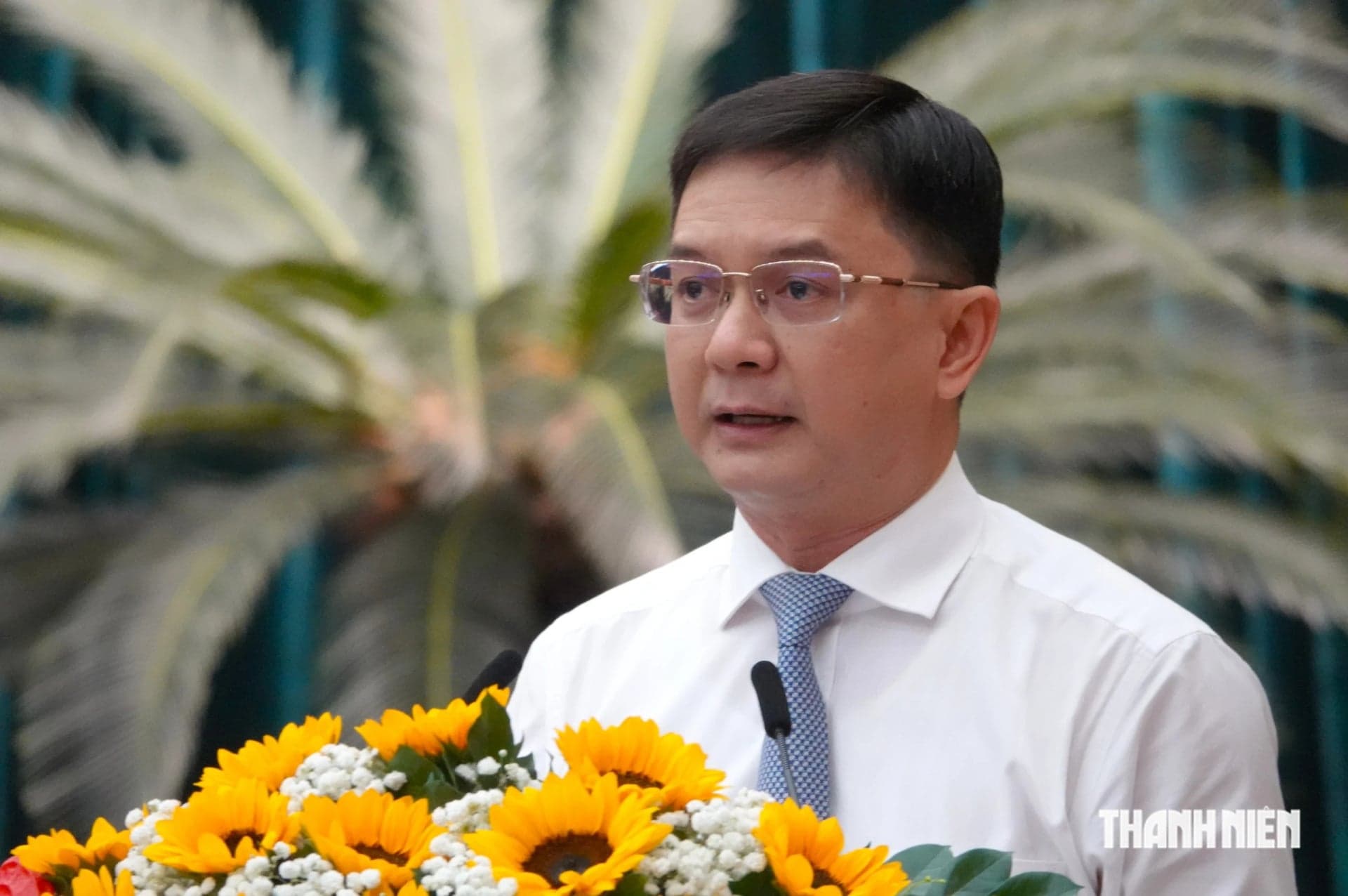
Nguyen Manh Cuong, vice chairman of the Ho Chi Minh City People's Committee, presented the plan's main points at a city People's Council session on the morning of October 29. The plan covers the 2025-2050 period and has a 100-year vision.
Five satellite centers in the metropolis
Under the plan, Ho Chi Minh City will develop as a metropolis with several centers. Its structure will include five growth poles, five satellite centers, five strategic connection systems and 10 development management zones.
The five growth poles will have different main functions: the central core will be an international financial services center, the east will focus on innovation, the north on industry, high technology and logistics, the south on seaports, free trade, international logistics and energy, and the west on urban development, education and healthcare.
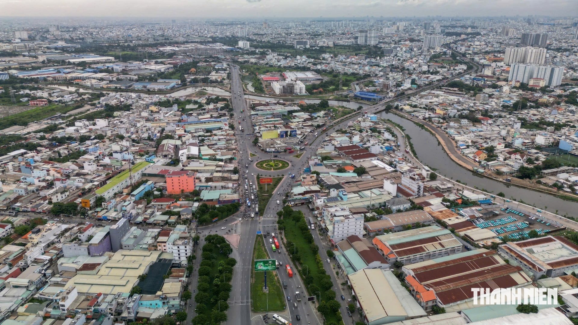
The five satellite centers will be in Con Dao, Long Hai and Ho Tram, Hoc Mon and Cu Chi, Bau Bang, and Tan Uyen and Bac Tan Uyen. Their creation is intended to change the city's structure and form a connected development network instead of concentrating growth mainly in the core area.
Nguyen Manh Cuong said the plan also includes five strategic connection systems. They are a north-south axis from border gates to the sea, an east-west axis linking the Mekong Delta with southeastern Vietnam, a multimodal industrial, production and logistics connection, a multi-level urban infrastructure system, and a green-blue connection centered on the Saigon and Dong Nai rivers as an ecological axis.
Development space will be organized according to the land, infrastructure, environment and identity of each area. On that basis, the 10 development management zones will provide a basis for proposing technical and social infrastructure targets and controlling development according to each zone's characteristics.
Nearly 1,000 km of urban railways by 2050
Nguyen Manh Cuong highlighted the plan's approach of organizing Ho Chi Minh City's space in three dimensions: at ground level, underground and above ground. The goal is to improve land use and the city's international competitiveness.
The plan prioritizes compact urban development linked to public transport through transit-oriented development around transport hubs. It also calls for the redevelopment of areas where land is used inefficiently. Urban development must fit natural conditions and environmental capacity, while urbanization in low-lying and sensitive areas will be controlled.
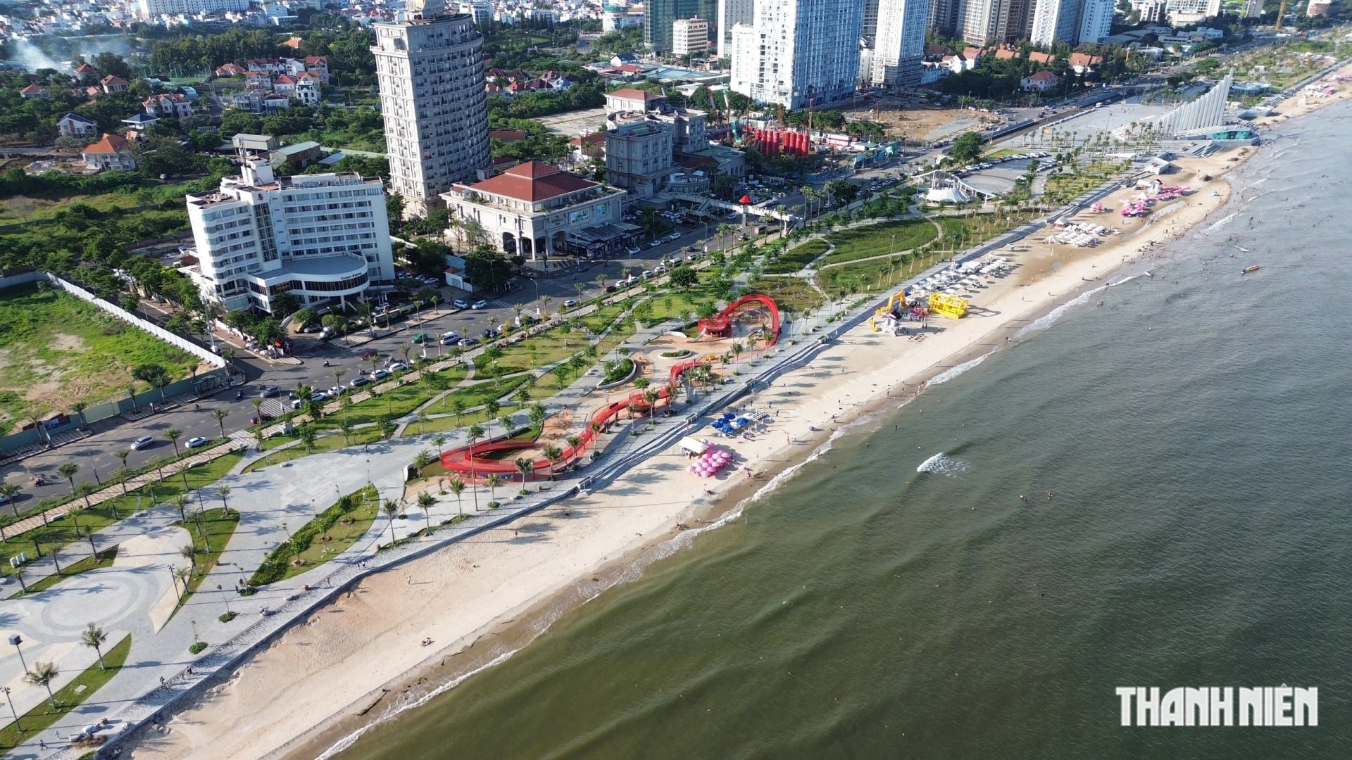
The Saigon and Dong Nai rivers and the Can Gio mangrove forest are designated as the city's green-blue foundation. They are intended to maintain ecological balance and preserve the urban landscape.
By 2030, the plan estimates that built-up land across the city will cover about 280,000-290,000 hectares, or an average of 150-155 square meters per person. By 2050, the area will rise to about 365,000-390,000 hectares, with an average of 135-140 square meters per person.
Transport infrastructure will be developed to strengthen regional and international links. By 2050, Ho Chi Minh City aims to complete a network of 18 urban railway lines totaling about 961 km, along with about 450 km of light rail and surface tramway. Public transport is expected to account for 55-65% of passenger travel.
Multimodal interchange hubs at railway stations, airports, seaports and urban centers will be linked to transit-oriented development areas at different levels.
A global city by 2075
According to the vice chairman of the Ho Chi Minh City People's Committee, the plan sets three development stages. By 2030, the city aims to become a civilized, modern city with a strong position in Southeast Asia. By 2045, it aims to be an economic, cultural, social, science and technology, and innovation center of Asia. From 2075 onward, Ho Chi Minh City aims to become a global, smart, modern and comprehensively developed city.
To drive growth, the plan calls for developing the Ho Chi Minh City Financial Center, a free-trade zone linked to international logistics, a national energy industry center, high-tech zones, and data, artificial intelligence and innovation centers.
"In the long term, we are studying the creation of a special coastal economic zone in the Vung Tau area, integrating special zones under a single management regime and with preferential policies across the area," Nguyen Manh Cuong said.
He said that after the city People's Council approves the plan, the chairman of the Ho Chi Minh City People's Committee will consider approving it, with completion expected at the end of October 2026.
Sources: Thanh Niên